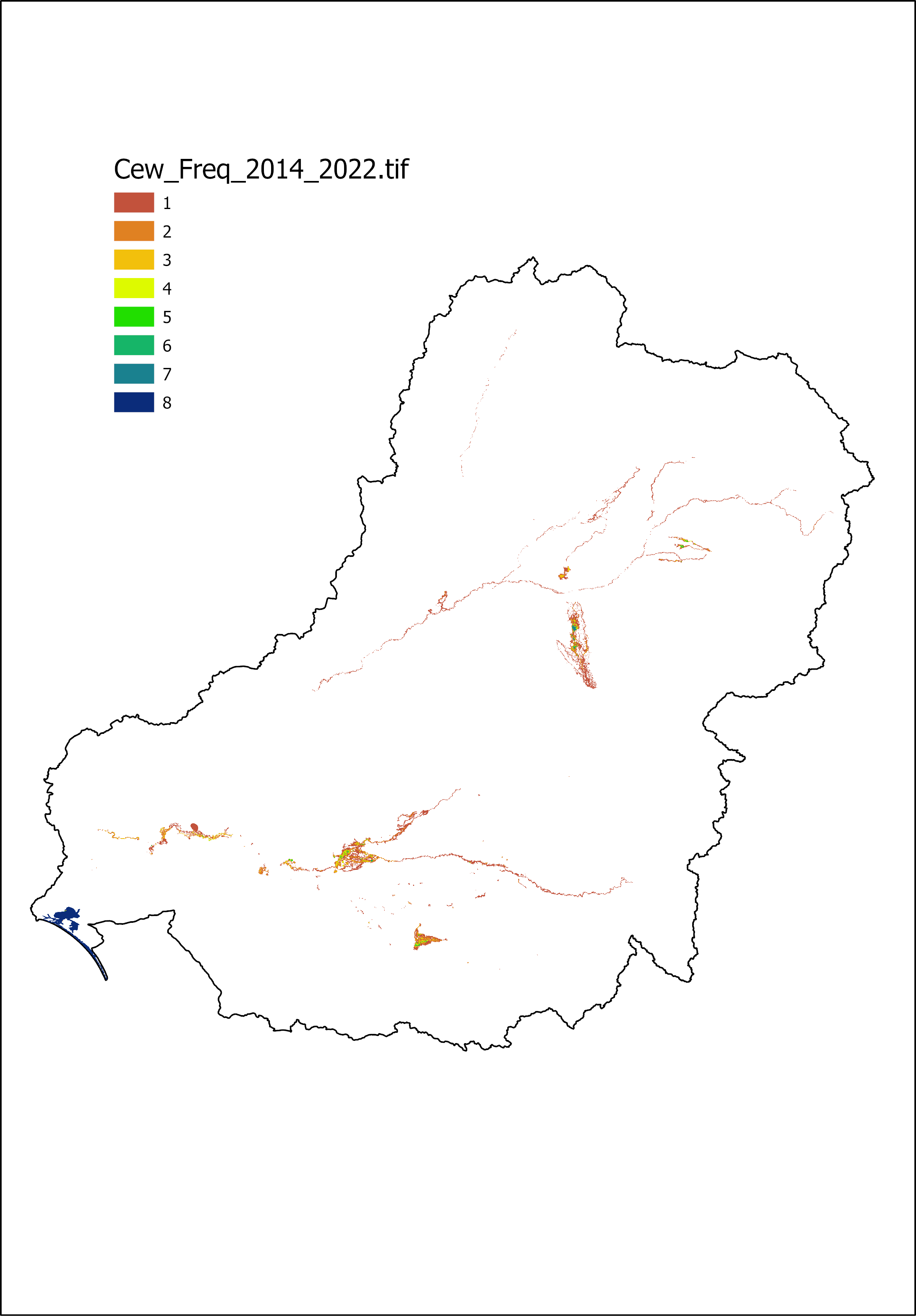
CEW inundation freqency wetlands & floodplains...
Frequency of Commonwealth environmental water - wetland and floodplain inundation
Created 02/11/2022
Updated 21/08/2025
Picture
Source
This data file or API can be downloaded from:
https://data.gov.au/data/dataset/6a64f124-035b-4f71-9bc5-4bbb322b0267/resource/4f4559c3-17de-49fd-a334-8d11ec2fb853/download/cew-inundation-frequency-wetlands.pngResources
Additional Information
| Field | Value |
|---|---|
| Data last updated | November 7, 2023 |
| Metadata last updated | October 8, 2024 |
| Format | PNG |
| License | Creative Commons Attribution Share Alike 4.0 International |
| Datastore active | False |
| Datastore contains all records of source file | False |
| Has views | True |
| Id | 4f4559c3-17de-49fd-a334-8d11ec2fb853 |
| Mimetype | image/png |
| Package id | 6a64f124-035b-4f71-9bc5-4bbb322b0267 |
| Position | 1 |
| Size | 147.5 KiB |
| State | active |
| Url type | upload |
| Zip extract | False |
| Size | 147.5 KiB |
| ID | 4f4559c3-17de-49fd-a334-8d11ec2fb853 |
| Harvested | False |
| Package ID | 6a64f124-035b-4f71-9bc5-4bbb322b0267 |
| State | active |